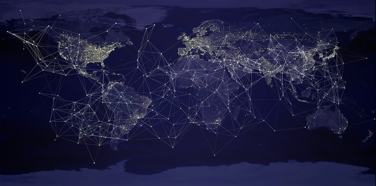
The war in Ukraine has witnessed unprecedented democratization of intelligence. Civilian organizations now conduct sophisticated open source intelligence with the help of geospatial tools, data and analysis methods. This democratization has profound implications for how wars are documented, analyzed, and understood in real time.
Ukraine’s geography significantly influences geospatial intelligence methods. The country’s plains, river systems, and seasonal weather create distinct challenges. The Dnieper River serves as both barrier and logistical artery. Seasonal rasputitsa constrains military mobility and shapes operational planning. Yet the proliferation of drones fundamentally reshapes this military geography. Understanding these geographical factors through geospatial analysis provides crucial context for interpreting battlefield developments.
The Kakhovka Dam destruction in June 2023 exemplifies how geospatial intelligence illuminates infrastructure attacks. Satellite imagery documented immediate flooding and environmental consequences. This event had tactical implications for front-line positions and strategic dimensions affecting regional ecology and civilian populations.
Effective civilian open source intelligence relies on specialized collaborative networks rather than individual analysts, where technical specialists must translate complex findings into actionable intelligence. Organizations like Bellingcat exemplify how effective knowledge transfer operates within civilian OSINT communities. Their public investigation into the 2014 downing of Malaysia Airlines Flight MH17 over eastern Ukraine provided an early demonstration of systematic collaboration across technical domains within the Russo-Ukrainian war. Similar organizations have since adopted comparable approaches, each developing specialized capabilities while maintaining collaborative frameworks that enable rapid cross-verification when urgent questions emerge.
Remote sensing data, geolocated social media posts, and collaborative mapping platforms create unprecedented situational awareness accessible to journalists, researchers, and citizens worldwide. Social media platforms, particularly Telegram, play a critical role. The application has become one of the key communication channels for both Russian and Ukrainian audiences. Posts, videos, and images provide near real-time glimpses of military movements and combat outcomes. However, this abundance presents challenges in verification and operational security.
The enabling tools continue advancing. Machine learning algorithms process vast quantities of imagery and social media content. Yet AI brings new challenges as well, since it can be consciously manipulated with hostile intent under different circumstances. For now and at least in the near future, human judgment remains indispensable. Algorithms still struggle to replicate the contextual understanding required to distinguish authentic battle descriptions from sophisticated fabrications or to recognize when seemingly mundane details reveal operational patterns. Conversely, certain analytical tasks far exceed practical human cognitive capacity. Processing millions of social media posts to identify emerging patterns, or analyzing remote sensing data across hundreds of square kilometers, requires computational power that only machines can provide. The most effective approach therefore is to maintain careful equilibrium between automated data collection and human interpretation, recognizing that neither alone suffices.
Large language models exemplify this balance. Advanced models can extract semantic location information from natural language, meaning mentions of specific streets, landmarks or districts within different posts. When a local resident mentions hearing explosions near a particular landmark, algorithms employ geocoding services to convert this reference into precise coordinates, then apply geospatial filtering to identify the correct location within the appropriate oblast rather than ambiguous references elsewhere. This extracted location can then be correlated with satellite imagery and cross-referenced against other contemporaneous reports from that vicinity. In the future so called foundation models may also be capable of doing all this, without the need of having to create complex pipelines and workflows.
State authorities face increasingly complex decisions about geospatial data governance. Many nations developed open data policies premised on transparent governance and economic development, making cadastral records, infrastructure databases, and topographic datasets publicly accessible. Once released, geospatial data cannot be effectively recalled. Governments must therefore weigh whether maintaining open data access serves broader societal interests despite acknowledged security costs, or whether previously open datasets should be restricted despite questionable efficacy of such restrictions.
Leo Niemi
Analyst
Black Bird Group
Finland
leo@blackbirdgroup.fi
Back to Table of Contents