Magis homines movet umbra, quam res – Gaius Julius Caesar
Geospatial intelligence (GEOINT) is not a discovery of the war in Ukraine; it played major roles during the Cold War, when satellites were sent into orbit and were used for Earth monitoring and early warning detection systems. However, after the second invasion of Ukraine by the Russian Federation in February 2022, GEOINT played an irreplaceable role on both sides of the battlefield, and the asymmetry in space capability determined different strategic approaches, even at the policy level. One of the most fundamental capabilities that the West shared with Ukraine was, indeed, GEOINT access and remote sensing data exploitation.
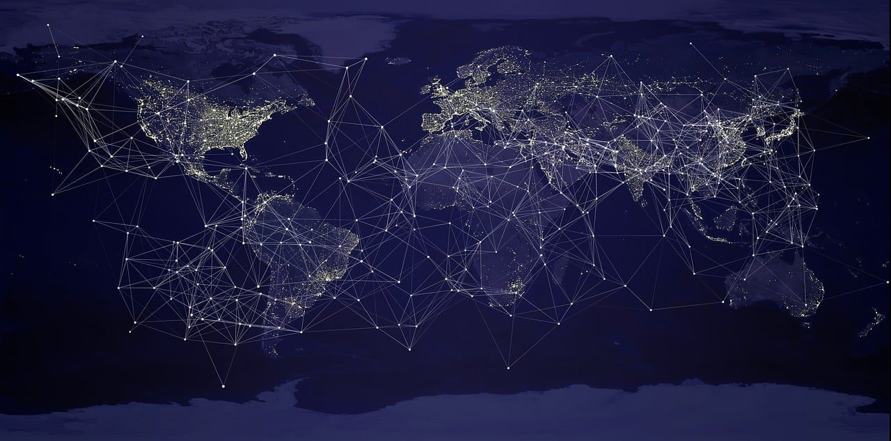
The contemporary battlespace and the configuration of the actual force are shaped by the wide availability of sensors which send back data, even partially analysed, to the Command & Control centres and commanders. Ukraine was able to strike deep into Russia and the Black Sea through drones maneuvered far from the point of impact. Most of the Intelligence Surveillance and Reconnaissance (ISR) is conducted by continuous data collection from drones (Imagery Intelligence, IMINT), ground sensors and satellites. They are all fused together in platforms that allow a shared situational awareness of the battlefield.
It is indeed this sensor and data availability that brought further AI integration into sensor-equipped vectors (e.g., Unmanned Aerial Vehicles (UAVs) and possibly Unmanned Surface Vehicles (USVs)). The quantity of data exhausted any human capacity to analyse and exploit them. As a result, machines were trained and reinforced to digest even more extensive collected data. The war in Ukraine did not show a revolution in firepower production, as not even a single new platform was designed and, at best, legacy weapons evolved in non-industrialized ways. For example, there was no evolution in tank design, and cope cages were improvised coverages against drones so as not to change the original platform. No visible changes in artillery designs are recorded, and, indeed, the Armed Forces of the Russian Federation imported even older North Korean artillery.
However, what did change was the level of precision striking at all levels and the speed of recalibration from the moment of fire and of battle damage assessment, from artillery munitions to First-Person View drones (FPVs), including the Russian adaptation of FAB aerial bombs. These technical developments, or the lack of, can be explained by three factors: the need to maintain the highest level of lethality, the industrial limitations that constrain the overall productivity of new military platforms, and the explosion of cheap sensors able to monitor Earth from space and from air.
GEOINT not only impacted the battlefield, but also the way the general informational ecosystem works. Especially in Western countries, GEOINT is now available to Open Source Intelligence (OSINT) units and traditional media alike. This has had a major influence on the general understanding and perception of the war in the public debate which, in turn, shapes political decision-making. OSINT analysts were able to track illicit movement of oil and weapons between North Korea and Russia; they were able to disseminate information about civil rights violations and illicit use of chemical weapons.
This was possible because access to space was cheaper and more broadly available at the disposal of researchers. This goes far beyond satellite imagery but includes telecommunication and internet connections, as Starlink and Russian and Chinese equivalents are showing. The European Space Agency disseminates medium-resolution satellite imagery and remote sensing data from a wide variety of sensors daily for free. This empowered a much broader information ecosystem which can track the movements on the battlefield. For example, analysts check Russian military presence in the Mediterranean Sea, monitoring the straits through these sensors along with human or imagery intelligence. Information shapes the battlefield and vice versa the battlefield influences politics. Hence, the war in Ukraine reminded the spectators and all parties involved that the cognitive domain and the information space are objects of war as much as anything else. Visible changes on an open-source map can shape the narrative at the ground level, thereby determining political action.
The war in Ukraine is the first conventional war between two states of the contemporary age. This level of Earth monitoring and remote sensing to such a scale and the jeopardy of European and Euro-Atlantic security create the conditions for a different appreciation for GEOINT influencing the battlefield and the policymaking via OSINT sharing and dissemination.
This double-loop is enabled by space access and an informational space widely shaped by GEOINT products through OSINT capability. Although the war in Ukraine has not ended just yet, this ecosystem will survive the frontlines to stay in the present and future of Western societies.
Intelligence Analysis Program, School of Integrated Sciences
James Madison University
Virginia, USA